Tropical Cyclone Kirrily

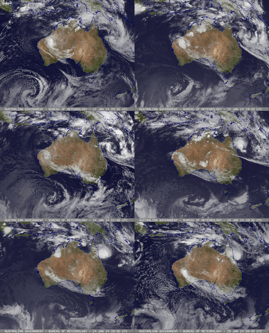
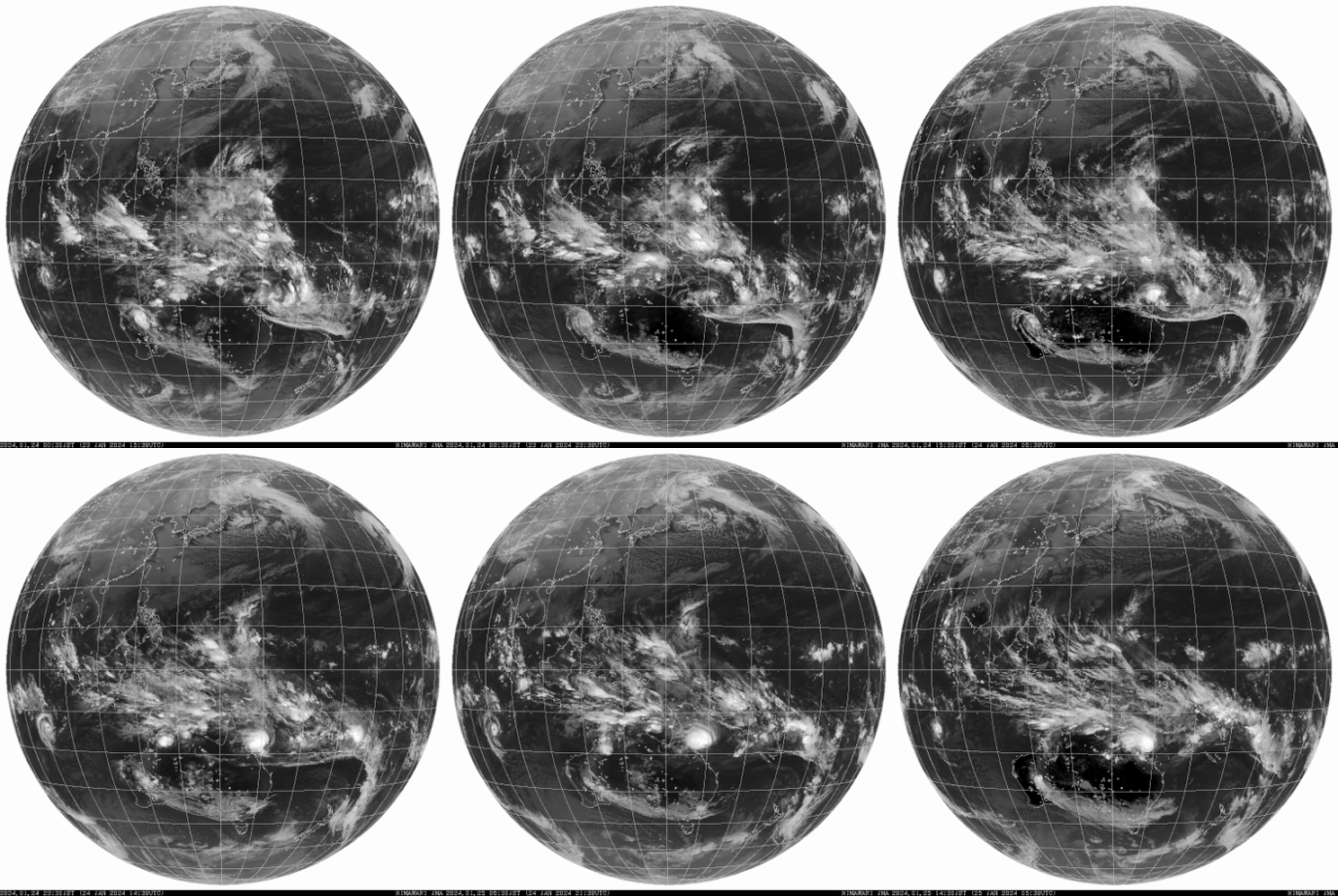
Tropical Cyclone Kirilly formed in the Coral Sea on Janury 24 2024 near Lihou Reef offshore of the Queensland (Whitsunday) coast. TC Kirrily is the third cyclone of the 2023-24 season in the Australian region.
TC Kirilly moved west-south west towards the Queensland coast while developing to a category 3 Severe Tropical Cyclone around 4pm (AEST) on January 25. Kirilly made landfall between 0900 and 1000 (AEST) that evening. Kirilly was downgraded to a category 2 Tropical Cyclone prior to landfall at Townsville. After crossing the coast Kirilly conitinued moving inland on a southwestly path.
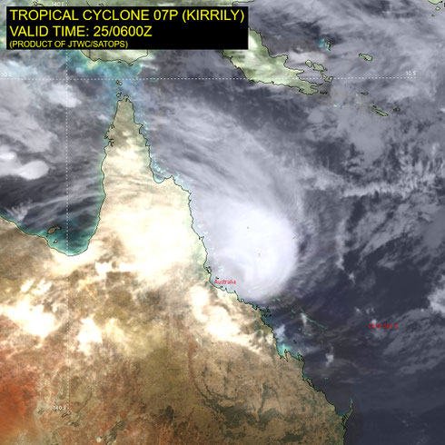
Severe Tropical Cyclone Kirrily peaked as a category 3 system in the Coral Sea shortly before crossing the north Queensland coast in the vicinity of Balgal Beach, Rollingstone, about 50km northwest of Townsville, as a category 2 tropical cyclone.
A tropical low (05U) formed in the central Coral Sea, approximately 150 km NE of Willis Island, during 17 January. 05U initially moved east, influenced by strong monsoon winds. During the 19-20 January, 05U slowed and turned towards the southwest. 05U then moved steadily southwest while intensifying slowly. At 4pm AEST 24 January (0600 UTC), about 50 km southeast of Lihou reef, 05U was named Tropical Cyclone Kirrily with gales wrapping more than halfway around the centre.
During 24 January, a ridge to the south strengthened and began to influence Kirrily’s movement. Kirrily then moved quickly to the west southwest. Kirrily had a broad centre circulation and the environment supported very slow intensification. Kirrily reached severe category 3 strength at 3pm AEST 25 January (0500 UTC). This was also the time Kirrily reached a peak 10-minute mean wind intensity of 65 kn (120 km/hr).
Kirrily weakened to a category 2 cyclone as it crossed the north Queensland coast, in the vicinity of Balgal Beach, Rollingstone, at 10pm AEST 25 January (1200 UTC). Once Kirrily crossed the coast, it weakened quickly as it moved inland, decreasing to below tropical cyclone intensity by 4am AEST 26 January (1800 UTC 25 January).
Ex-Tropical Cyclone Kirrily then moved west and north across central and western Qld. By the end of January Kirrily was moving towards the Gulf of Carpentaria coast and during 1 February moved just offshore over southern Gulf of Carpentaria waters. Gales developed to the north of Kirrily, with Mornington Island Airport recording a wind gust of 55 kn (102km/h) at 9:37pm AEST (1137 UTC), the highest wind gust in February and the equal highest wind gust ever recorded at this site. In total, intermittent gales occurred at Mornington Island for nearly 24 hours on the 1st and 2nd of February. These gales were confined to the north of the centre of ex-Tropical Cyclone Kirrily, however, so it did not regain tropical cyclone status. Early on 2 February, Kirrily moved back over land and the northern gales eased.
During the following days Kirrily moved to the south near the Queensland Northern Territory Border. From 4 February Kirrily began to interact with an upper trough to the southwest. This upper trough moved Kirrily to the southeast, caused a period of strengthening during 5 February. Ballera, in southwest Queensland near the SA border, experienced intermittent gale force winds for several hours from 6am AEST (2000 UTC) on February 6th. Later that day, ex-Tropical Cyclone Kirrily merged into an existing trough over southeastern Australia.
As Kirrily moved over the tropical coast and then inland across Queensland it led to heavy falls, as well as widespread flooding for western Queensland.
Severe Tropical Cyclone Kirrily was the second tropical cyclone (and second severe tropical cyclone) in the Australian region (and the Coral Sea) for the 2023-2024 season.
From www.bom.gov.au


