Tropical Cyclone Jasper
Tropical Cyclone Jasper developed in the northern Coral Sea December 5 2023. Jasper moved southward then towards the southwest in the Coral Sea while developing to a category 4 Severe Tropical Cyclone on December 8 2023. The system then turned westerly towards the Queensland coast and detriated to a category 1 Tropical Cyclone on December 11 2023. TC Jasper then turned towards the northwest, moving slowly at 7 km/hr and made landfall as a category 2 Tropical Cyclone near Bloomfield on the north Queensland coast on December 13 2023 around 8pm AEST. Once over land TC Jasper then detriated to a tropical low pressure system and Ex-TC Jasper continued albeit slowly westward over Cape Yorke Peninsular and into the Gulf of Carpentaria. Ex-TC Jasper did not reform as a Zombie cyclone but delivered very high rainfall along the far-north coast of Queensland from December 14 to 19 2023.
BoM report:
Severe Tropical Cyclone Jasper peaked as a category 4 system in the Coral Sea before crossing the far north Queensland coast, in the vicinity of Wujal Wujal, as a category 2 cyclone. A tropical low (02U) formed east of the Solomon Islands during 2 December. 02U moved to the west and south, into the Solomon Sea over the next couple of days. It reached tropical cyclone intensity at 4pm AEST (0600 UTC) 5 December, about 300 km west of Honiara.
Jasper continued to move south into the Coral Sea. The environment supported rapid development and Jasper reached severe category 3 strength at 4pm AEST (0600 UTC) 6 December, only 24 hours after formation.
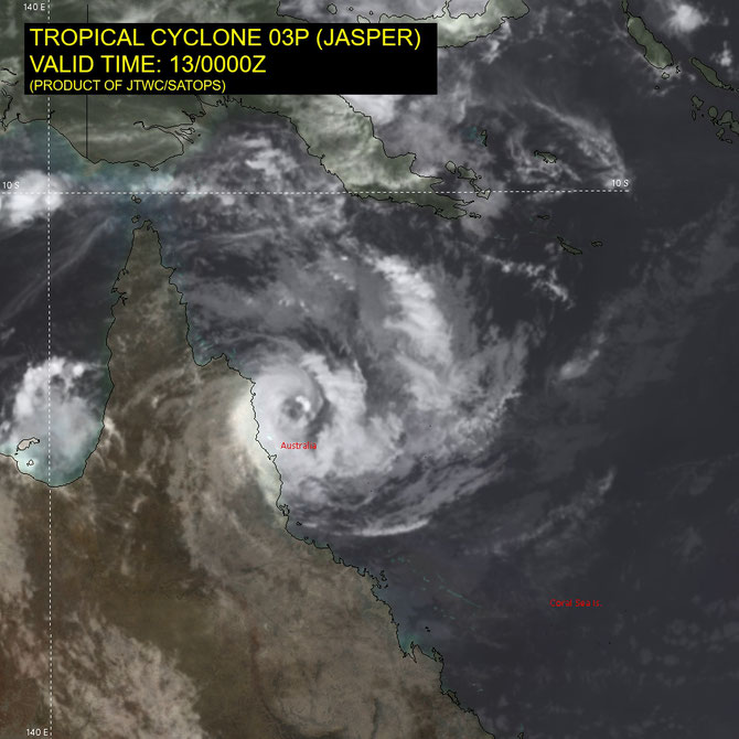
Jasper continued to strengthen through 6-8 December as it moved to the south southwest in the central Coral Sea, reaching a peak 10-minute mean wind intensity of 105 kn (195 km/h) at 10am AEST (0000 UTC) 8 December. From later in the evening of 8 December the environment became less favourable for any further development and Jasper began to gradually weaken.
From 9 December a ridge to the south began to influence Jasper's movement and Jasper started to turn to the west while the gradual weakening continued. During 11 December, Jasper passed about 135 km to the south of Willis Island and by this stage it was of category 1 intensity.
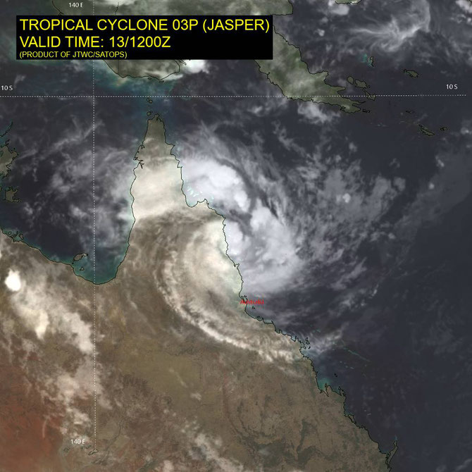
Jasper moved to the northwest and towards the far north tropical coast, and shortly before Jasper made landfall more favourable conditions meant a short period of intensification with Jasper increasing to category 2.
Jasper crossed the far north tropical coast near the community of Wujal Wujal, about 120 km north northwest of Cairns, at 8pm AEST (1000 UTC) 13 December. The region south of the centre extending to Port Douglas experienced the strongest winds with wind gusts estimated to 130 km/h. Once Jasper had crossed the coast it weakened fairly quickly as it moved inland, decreasing to below tropical cyclone intensity by 12am AEST 14 December (1400 UTC 13 December).
Ex-tropical cyclone Jasper then stalled over Cape York Peninsula for the next several days. A surface trough developed over the weekend of 16-17 December, extending from ex-Jasper eastward across the north tropical coast into the Coral Sea. Moist northeasterly winds from the Coral Sea converged along this near-stationary trough with easterly winds strengthened by a building ridge in the Tasman Sea. As a result, heavy to intense rainfall fell over the north tropical coast area. This rainfall fell in river catchments that were already wet due to earlier rainfall from Jasper's landfall and produced widespread flooding in the region.
Severe Tropical Cyclone Jasper was the first tropical cyclone (and the first severe tropical cyclone) in the Australian region for the 2023-2024 season. It was the earliest in the season in the satellite era that a tropical cyclone has made landfall on the east coast, although there have been earlier landfalls in the Gulf of Carpentaria, and earlier Coral Sea systems which have not made landfall in Australia.
From www.bom.gov.au
Track maps


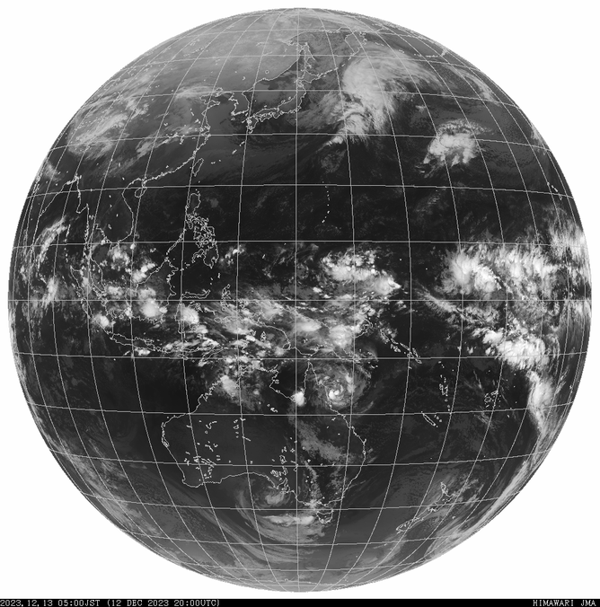
Satellite images of Severe Tropical Cyclone Jasper