
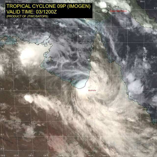
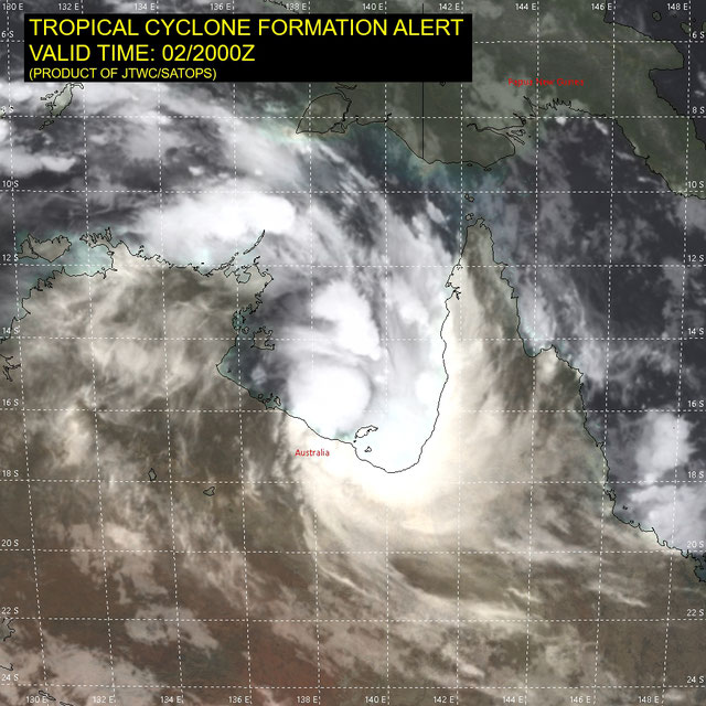
Tropical Cyclone Imogen
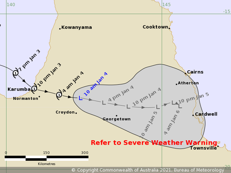
The first tropical cyclone in the Australian region for the 2020-21 season developed from a severe tropical low pressure system on north coast of Australia in the Gulf of Carpentaria. The system intensified into a category 1 strength cyclone prior to making landfall at 2000 AEST on January 4 2021 and then proceeded move towards the east over Cape Yorke Peninsula before weakening back to a tropical low pressure system. The low is expected to continue moving east-southeast and to then track more slowly to the southeast towards the North Tropical and Herbert-Lower Burdekin coasts.

Karumba Stormtide at 17:14 04/01/2021 AEST
The stormtide at Karumba did not exceed Highest Astronomical Tide. The storm surge (residual) reached 1.0 m as Imogen approached the coast then fell to be negative as the winds swung from northwest through east. As Imogen degraded to a low pressure system and moved further inland the winds swung to the southwest and generated a secondary surge on the next ebb tide.