Tropical Cyclone Charlotte
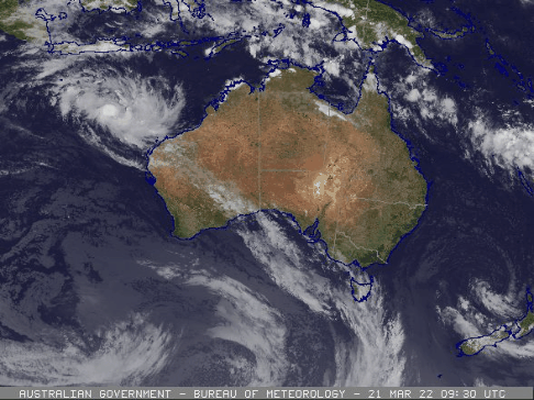
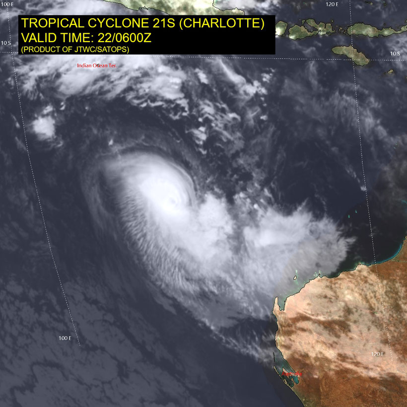
Tropical cyclone Charlotte developed in the indian Ocean on March 21 2022 south of Cocos Island. Charlotte moved towards the southwest as a category 1 cyclone before developing to a category 4 severe tropical cyclone March 22 2022. Severe tropical cyclone Charlotte is forecast to move in a southwesterly direction before taking on a more southerly track on Thursday. Charlotte is forecast to weaken below tropical cyclone intensity late Thursday. However, gale force winds are likely to persist around the low pressure system on its southern side during Friday and then its western side over the weekend. The low is forecast to move closer to the west coast over the weekend before becoming slow-moving.
Headline:
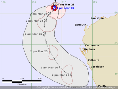
Severe tropical cyclone Charlotte, category 3, well to the northwest of Western Australia is expected to continue to weaken into Thursday.
Details of Severe Tropical Cyclone Charlotte at 2:00 pm AWST:
Intensity: category 3, sustained winds near the centre of 120 kilometres per hour with wind gusts to 165 kilometres per hour.
Location: within 35 kilometres of 19.0 degrees South, 108.8 degrees East , 650 kilometres west northwest of Exmouth and 830 kilometres northwest of Carnarvon .
Movement: south at 11 kilometres per hour .
Severe tropical cyclone Charlotte is forecast to move in a southwesterly direction before taking on a more southerly track on Thursday. Charlotte is forecast to weaken below tropical cyclone intensity late Thursday. However, gale force winds are likely to persist around the low pressure system on its southern side during Friday and then its western side over the weekend. The low is forecast to move closer to the west coast over the weekend before becoming slow-moving.
Hazards:
If the system tracks close to the coast damaging winds are possible for areas of the west coast on the weekend, most likely in the area between Carnarvon and Lancelin.
An increase in rainfall across the western half of WA is likely over the weekend as the system drags tropical moisture southwards. There is the chance of heavy falls in a broad area south of Shark Bay, with the most intense rainfall dependent on the track of the system.
Tides along much of the west coast will rise above the normal high tide mark over the weekend.
From www.bom.gov.au