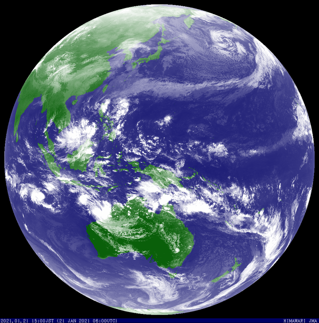
Tropical Low 08U

A Tropical low pressure system (08U) developed in the north Western Australian region on the 20 - 24 January 2022 and crossed the coast near the Pilbara coast.
The tropical low travelled south west on January 20 before veering to the south east and crossing the Pilbara coast on Thursday January 22.
Headline:
Heavy rain with wind strengthening over the east Pilbara and west Kimberley coasts as tropical low 08U approaches Eighty Mile Beach.
Details of Tropical Low 08U at 8:00 am AWST 22 January 2021:
Intensity: Tropical Low, sustained winds near the centre of 65 kilometres per hour with wind gusts to 95 kilometres per hour.
Location: within 75 kilometres of 18.1 degrees South 119.9 degrees East, estimated to be 250 kilometres west of Broome and 205 kilometres north northwest of Wallal.
Movement: south at 11 kilometres per hour.
Tropical low 08U is slowly intensifying as it moves in a southerly direction towards the Eighty Mile Beach area, bringing heavy rain across the eastern Pilbara and southwestern Kimberley. The tropical low may intensify into a tropical cyclone later today as it nears the coast. The most likely path will take it across the coast in the vicinity of Eighty Mile Beach late Friday or early Saturday.
Hazards:
GALES may develop on the coast between Bidyadanga and De Grey from the middle of today, and if the system tracks further east gales could also be experienced in other parts of the warning area north of Bidyadanga. Gales remain a small chance at Broome. Gales may extend into inland parts of the east Pilbara on Saturday before the system weakens over land.
Heavy rainfall is occurring in the area between Bidyadanga and De Grey and will extend across inland areas east of Port Hedland during Friday afternoon and evening. As the system moves to the south southeast, heaviest falls will be ahead of the system.
Though the system will weaken after making landfall, strong winds and heavy rainfall are expected to extend into the Interior of WA over the weekend.
A Flood Watch is current for parts of the Kimberley and Pilbara. Please refer to http://www.bom.gov.au/wa/warnings/ for further details.
Details adapted from www.bom.gov.au