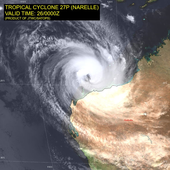
Tropical Cyclone Narelle
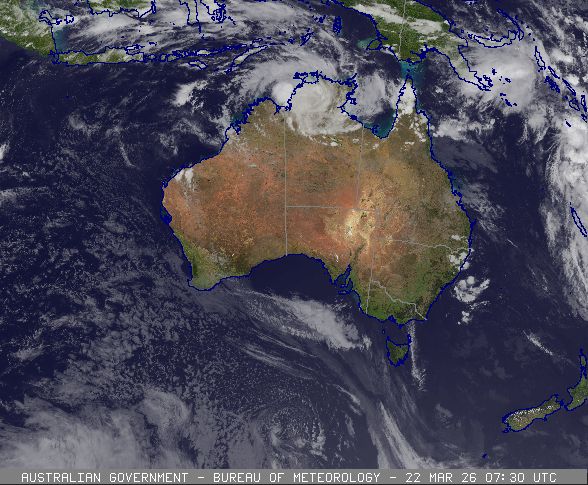
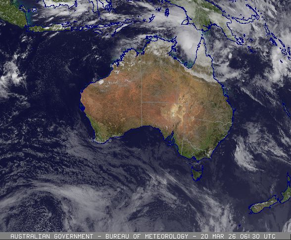
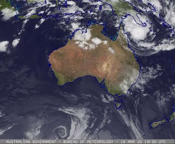
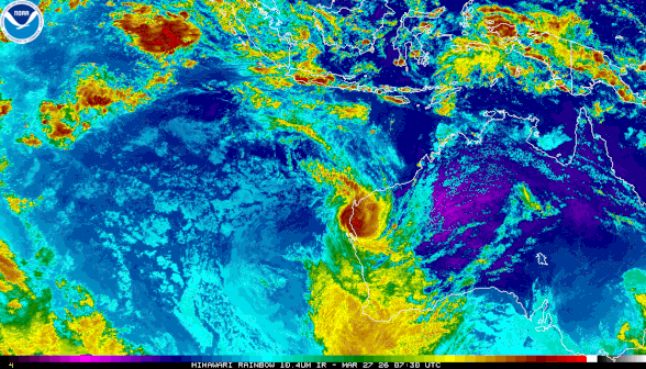
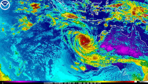
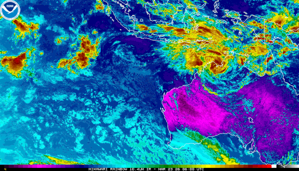
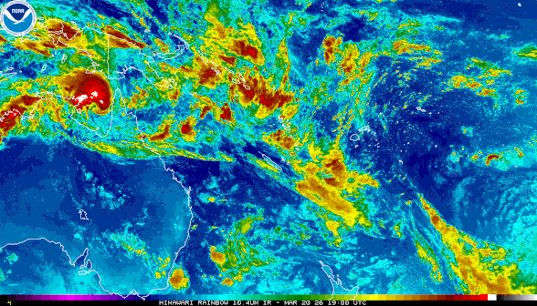
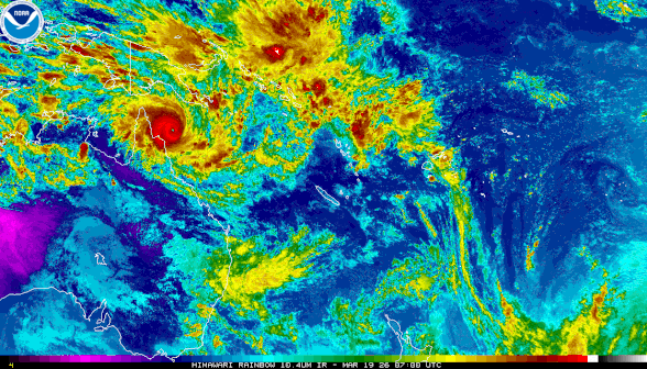
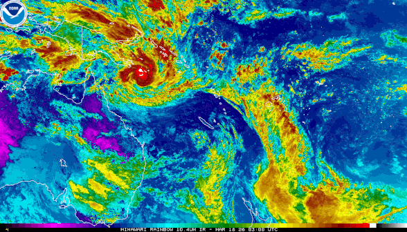
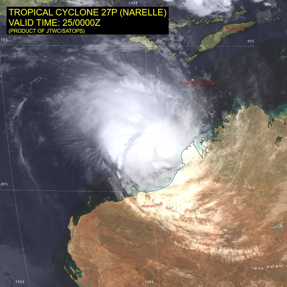
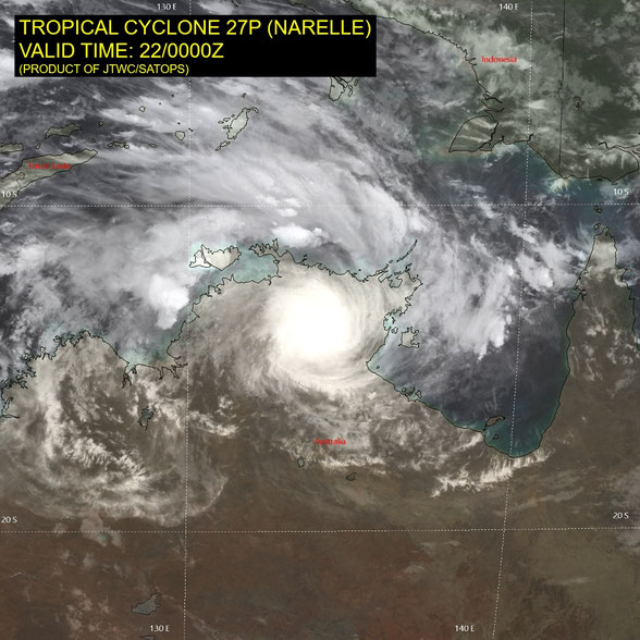
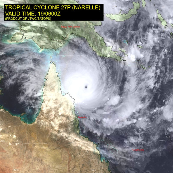
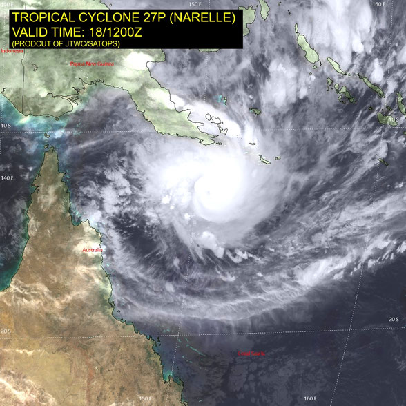
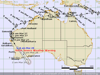
Severe tropical cyclone Narelle formed in the Coral Sea and developed to a category 5 severe tropical cyclone then crossed the far north Queensland coast near Coen. Narelle then crossed Cape Yorke Peninsula and the Gulf of Carpentaria and downgraded to a tropical low. Ex-tropical cyclone Narelle moved across the top end and into Western Australian waters and reformed to severe tropical cyclone strength (ie become a zombie cyclone) before moving southwest and crossing the Gasgoyne coast.
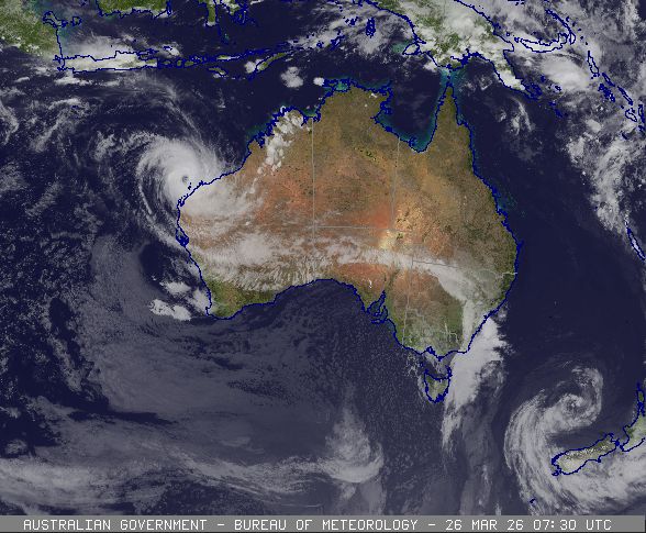
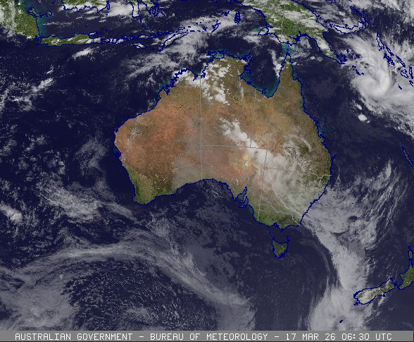
Ex-Tropical Cyclone Narelle (34U) is located inland east of Geraldton and is no longer a tropical cyclone.
Area affected
Warning zone
None.
Watch zone
None.
Cancelled zone
None.
At 8:00 am Australian Western Standard Time
Intensity
tropical low, sustained winds near the centre of 65 kilometres per hour with wind gusts to 95 kilometres per hour
Location
within 45 kilometres of 29.5 degrees South, 116.9 degrees East, 235 kilometres east southeast of Geraldton and 90 kilometres east southeast of Morawa
Movement
south southeast at 51 kilometres per hour
Ex-Tropical Cyclone Narelle lies over southwestern WA east-southeast of Geraldton. It is weakening as it moves quickly southeast. Impacts are forecast across the South West Land Division today and a Severe Weather Warning is current for these conditions.
Hazards
A Severe Weather Warning is current across much of southwest WA east of Perth and northeast of Albany. Refer to https://www.bom.gov.au/weather-and-climate/warnings-and-alerts for further information.
Recommended action
DFES advises:
For the latest DFES community alerts and warnings visit www.emergency.wa.gov.au or download the Emergency WA app.
From www.bom.gov.au
Alternative Track Maps

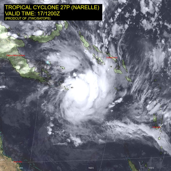
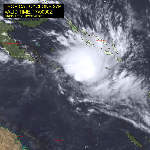
Satellite Images