Tropical Cyclone Koji
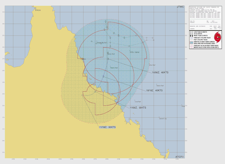
Tropical cyclone Koji made landfall near Ayr on the Queensland coast and is deteriated to a tropical low system.
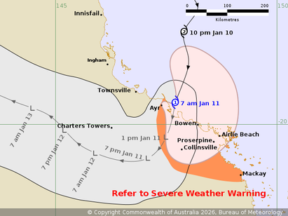
Tropical Cyclone Koji to cross the coast between Ayr and Bowen. Heavy rain occurring between Ayr and Mackay.
Area affected
Warning zone
Ayr to Mackay, including Whitsunday Islands, Bowen and Proserpine.
Watch zone
None.
Cancelled zone
None.
At 7:00 am Australian Eastern Standard Time
At 7:00 am AEST
Intensity
category 1, sustained winds near the centre of 75 kilometres per hour with wind gusts to 100 kilometres per hour
Location
within 55 kilometres of 19.5 degrees South, 147.7 degrees East, 80 kilometres northwest of Bowen and 240 kilometres northwest of Mackay
Movement
south southwest at 21 kilometres per hour
Tropical Cyclone Koji (12U), category 1, lies east southeast of Townsville and moving south and will cross the coast between Ayr and Bowen in the next few hours. The strongest winds are occurring over Whitsunday Islands. After crossing it will weaken rapidly before tracking southwestwards. Heavy rain may persist through the region through Sunday and into Monday.
Hazards
HEAVY RAINFALL which may lead to FLASH FLOODING is developing between Townsville and St Lawrence. Locally INTENSE RAINFALL, which may lead to DANGEROUS AND LIFE-THREATENING FLASH FLOODING, is possible between Ayr and Mackay.
GALES with DAMAGING WIND GUSTS up to 100 km/h currently occurring through the Whitsunday Islands.
GALES with DAMAGING WIND GUSTS to 90 km/h may briefly extend to coastal areas between Ayr and Mackay and to adjacent inland areas during this morning as the system crosses the coast but then winds should ease following landfall. Tides are likely to be higher than normal between Cardwell and Mackay today but should not exceed the highest tide of the year.
A Severe Weather Warning is also current for heavy to locally intense rainfall and damaging winds about the northeast and central Queensland coasts. Flood Watches and Warnings are also current.
Recommended action
People between Townsville and Mackay, including Bowen, Proserpine and the Whitsunday Islands should take precautions and listen to the next advice.
- Stay informed by checking your local government¿s Disaster Dashboards for the latest updates.
- For cyclone preparedness and safety advice, visit the Get Ready Queensland website www.getready.qld.gov.au
IF YOUR LIFE IS IN DANGER PHONE TRIPLE ZERO (000) IMMEDIATELY. For non-life threatening emergency assistance contact State Emergency Services (SES) online via the SES Assistance QLD App (Apple, Android), online 132500.qld.gov.au, or call 132 500 from anywhere in Queensland.
From www.bom.gov.au
Alternative Track Map
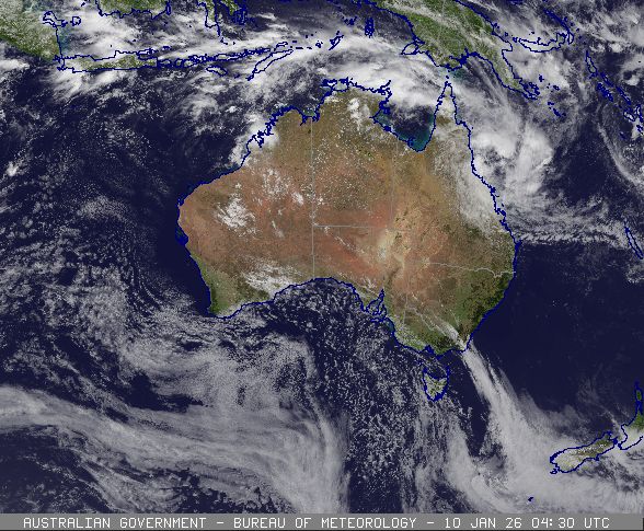
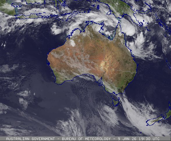
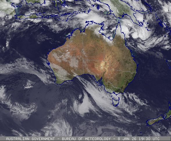
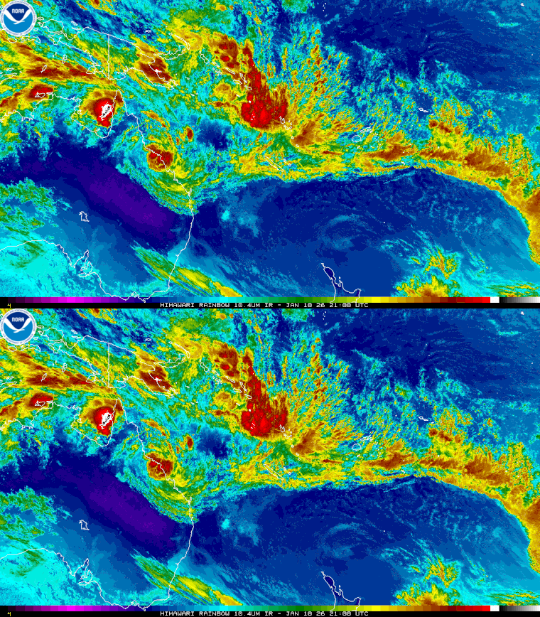
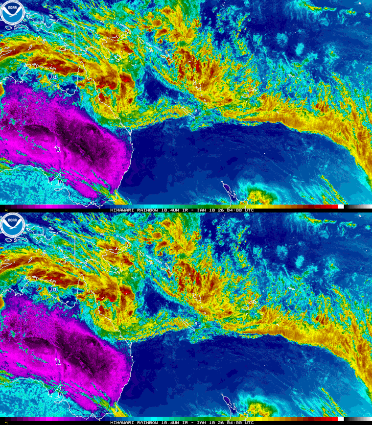
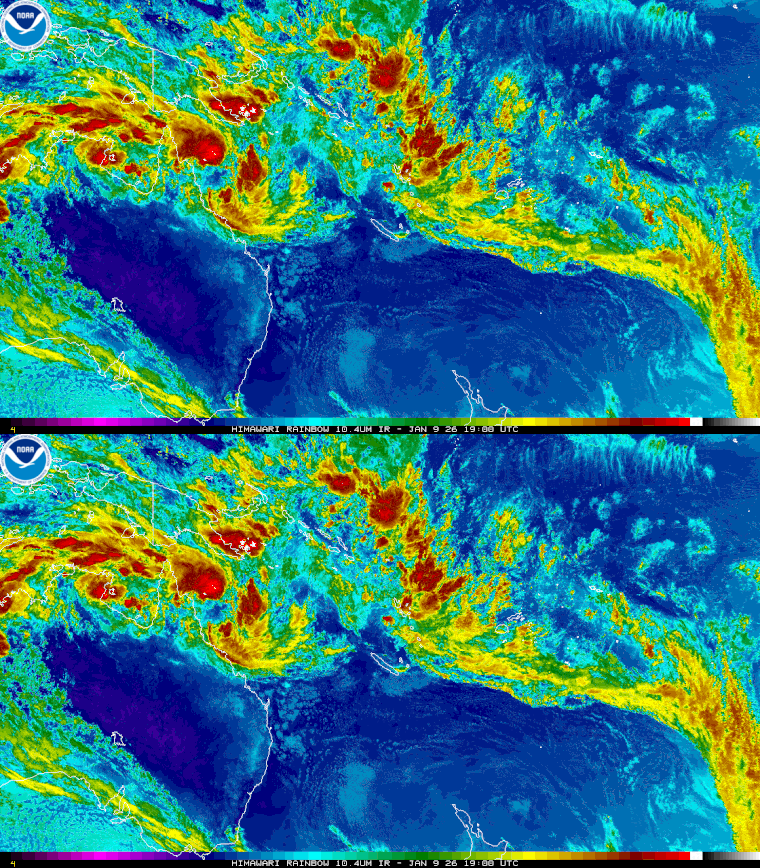
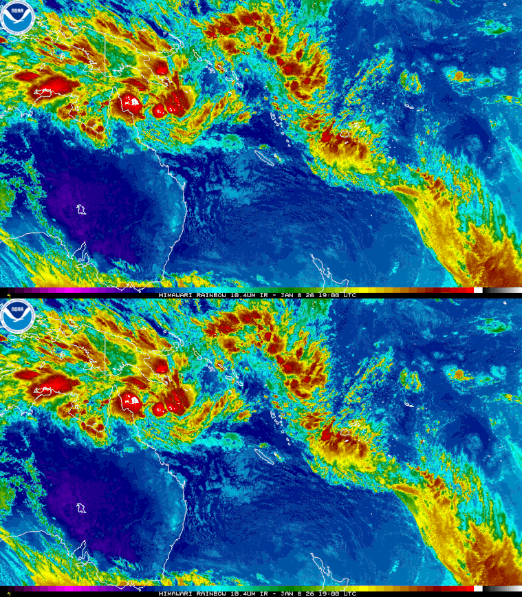
Satellite Images of tropical cyclone Koji